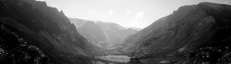
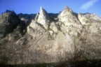
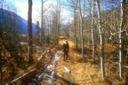
East Rosebud
(
map
)
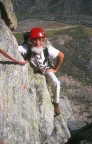
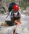
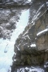
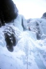
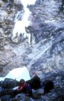
The Ramp
The Ramp
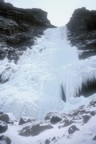
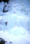
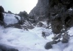
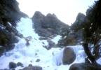
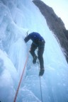
California Ice
California Ice
California Ice
California Ice
California Ice
California Ice
California Ice
California Ice
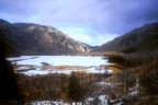
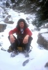
Sand Dune Falls