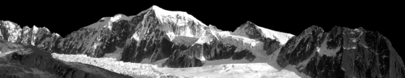
Cordillera Real (Bolivia)
,
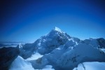
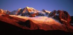
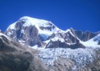
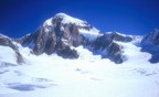
Ancohuma
(
map
)
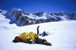
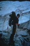
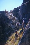
Southwest Face, Normal Route
Southwest Face, Normal Route
Southwest Face, Normal Route
Southwest Face, Normal Route
Southwest Face, Normal Route
Southwest Face, Normal Route
Southwest Face, Normal Route
Southwest Face, Normal Route
Southwest Face, Normal Route
Southwest Face, Normal Route
Southwest Face, Normal Route
Southwest Face, Normal Route
Southwest Face, Normal Route
Southwest Face, Normal Route
Southwest Face, Normal Route